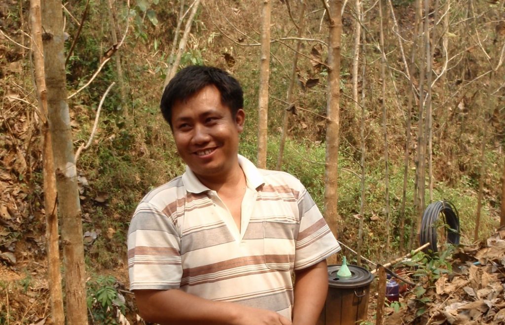
Agronomy, specialist in upland farming systems and weeds
Address: IRD, Department of Agricultural Land Management (DALaM), P.O. Box 4199, Ban Nogviengkham, Xaythany District, Vientiane, Lao PDR
Email: sbounsamay|DONTWANTSPAM|@gmail.com
Main fields of research and expertise
Bounsamay SOULILEUTH has been working in the M-TROPICS/MSEC programme since 2001 as a student and since 2002 as an assistant. The Lao study site, Houay Pano catchment, 65 ha at Ban Lak Sip, hosts long-term and short-term scientific experiments in agronomy, hydrology and soil science and receives Laotian and European students every year during 6-9 months. His work consists (1) in providing assistance to the scientific team in field experiments, particularly the monitoring of on-farm experiments and preparation of various maps using ArcView, and (2) assisting Lao and European students with their field experiments.
Scientists of different disciplines collaborate in the M-TROPICS/MSEC programme and, over the years, allowed him to deepen his knowledge and learn new techniques and skills, examples are listed below:
- Management of agronomic experiments including herbicide tests, contour planting, cover crop and improved fallow, conducting interviews with farmers, carrying out crop cuts for grain yield estimation. The monitoring of seasonal crop growth in long-term on-farm experimental plots is followed by calculation of harvest index and yield components (rice, maize, Jobs’ tears, pidgeon pea).
- Monitoring of weed growth and shifts in weed populations in permanent plots followed by analysis of competition between crop and weeds. This work includes the identification of the weed flora and fallow vegetation and therefore he maintains a field herbarium at the study site of 175 common weed species and about 300 woody fallow species. He assisted in preparing about 650 of dried voucher specimen of common plant species that were deposited at the National Herbarium in Vientiane, Lao P.D.R. He also monitored seed bank studies and experiments on allelopathy under teak. He has a good knowledge of the local flora, forest plants and weeds, scientific names and local names.
- He conducted and assisted in various field surveys of vegetation and land use followed by the mapping of units at various scales using GIS and related techniques (theodolite, clinometer). Field surveys usually include a soil profile description using Munsell Chart, determination of soil density, preparation of composite soil samples.
- Soil science and hydrology are part of the M-TROPICS/MSEC programme. Work in hydrology included collecting and processing water samples and bed load samples from hydrological stations (weirs) and assisting in rainfall simulation experiments.
- The M-TROPICS/MSEC site receives many scientific visitors. During such a visit he explains the work that is being done and the equipment that is being used in both English and Lao.
